

Meltwater Routing & Catastrophic Drainage
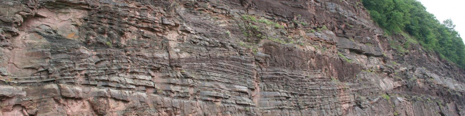
During the last -- and almost certainly previous cycles -- of glaciation (Ice Ages), large ice sheets advanced southward into existing topography. The huge ice sheets depressed and repeatedly blocked streams acting as dams. The blocked drainage pooled and formed lakes, many of which were large such as glacial Lake Albany, glacial Lake Iroquois and glacial Lake Newberry. As these lakes filled they would find new outlets to drain. In many circumstances the flows of water were very large in comparison to modern streams. As a result they eroded and cut large channels across the landscape. Episodically, the water levels would become so deep -- perhaps on the order of 1000 feet or more --and the glaciers margin would become buoyant and start to float, sometimes causing the dam to fail rapidly and huge flows of water would be unleashed on the landscape as catastrophic floods. It has been suggested that some of these flows may even play a part in abrupt climate change. My research interests are in using technology to map and identify such glacial flood tracts and deposits, estimate flow volumes, and determine the timing of these events. Our recent work on the Montezuma Wetlands Complex has involved reconstructing former glacial lake levels and evaluating meltwater flow paths. My other projects have worked on a vast network of spillways and meltwater channels known as the Syracuse Channels.
Related Publications:
Kehew, A.E., Lord, M.L., and Kozlowski, A.L., Fisher, T.G., 2009, Proglacial Megaflooding along the margins of the Laurentide Ice Sheet. Burr, D. (Ed.), Megaflooding on Earth and Mars. Cambridge University Press. p.104-123.
Kehew, A.E., Lord, M.L., and Kozlowski, A.L. 2007 Glacifluvial landforms of erosion. In: Elias, S.A. (Ed.), Encyclopedia of Quaternary Science. Elsevier, p.818-830.
Kozlowski, A., Kehew, A. E., Bird, B.C., 2005, Origin of the central Kalamazoo River Valley southwest Michigan, USA. Quaternary Science Reviews, Vol. 24, no. 22, 2354-2374