

Hudson River Lake Clay Exposures
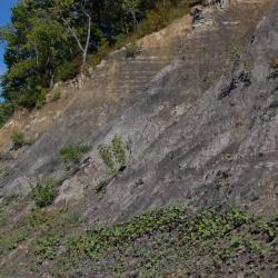
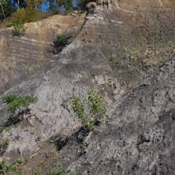
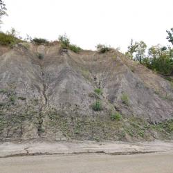
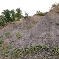

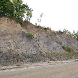
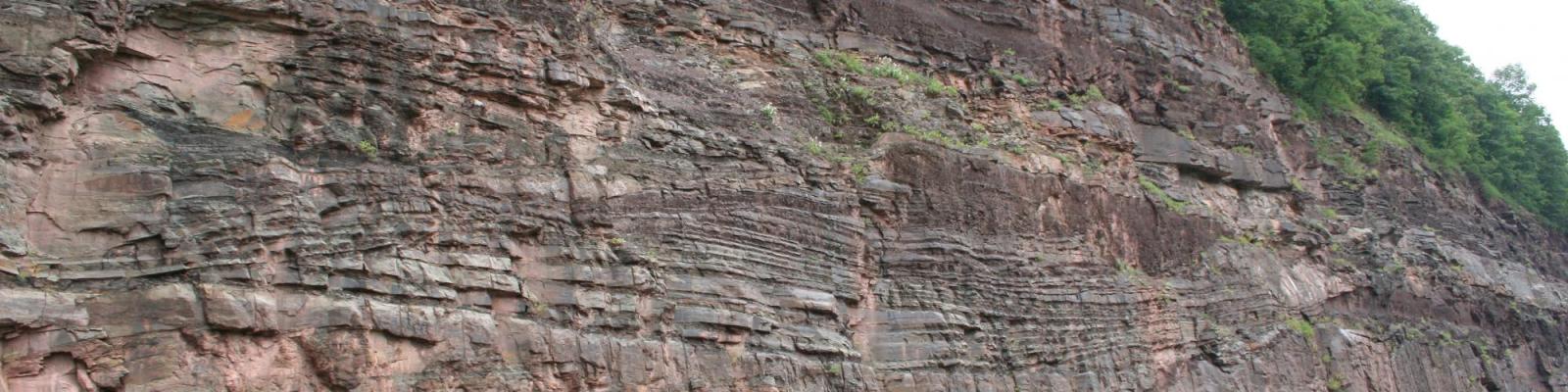
Clay lake sediments deposited in vast glacial lakes at the end of the last Ice Age are abundant in New York State (Fig1), especially in the Capital District. In fact, the Hudson Valley was once filled by a very large body of water known as glacial Lake Albany (Fig2).


The size and extent of Lake Albany has been debated by scientists for more than a century, but irrefutable evidence of the former large lake can be found in the extensive clay deposits that represent the former floor of Lake Albany. These deposits are now exposed along the banks of the modern Hudson River.
The clay banks of the Hudson were famous for the brick industry that exploited this natural resource for more than 200 years! One particularly good exposure of lake clays is readily viewable on the east side of the river across from Lock #1 in Waterford. The 75 foot exposure on River Road displays thick couplets of layered lake clays deposited at the bottom of a deep and expansive glacial lake.