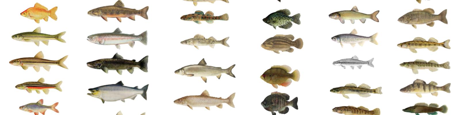
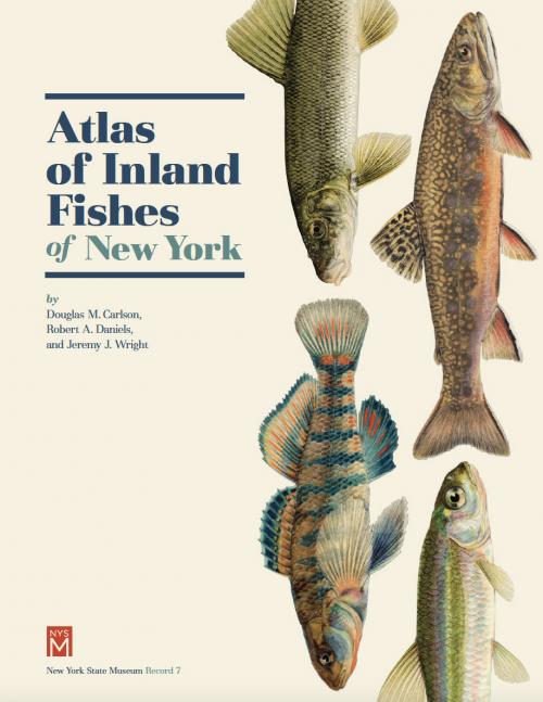
Fish Atlas Database

A data base of fish records was compiled from several sources to illustrate their distribution in New York ’s inland waters, and the largest component came from records of the New York State Department of Environmental Conservation (DEC).

This database includes information from 91,769 sites from the 1800s-2015. Most records are kept at Albany headquarters of DEC and are available in electronic form as the “atlas map data base”. Earliest records (by DEC) start in the Genesee basins in 1926 and continue to present for statewide coverage. The methods for these earliest records were described by Daniels (2012). We added information from museum collections, published accounts and unpublished reports to this extensive, statewide fish atlas database. We examined the collection records at the New York State Museum (NYSM), Cornell University (CU), the American Museum of Natural History (AMNH), the California Academy of Sciences (CAS), University of Michigan Museum of Zoology (UMMZ), Roosevelt Wildlife Collection of the State University of New York College of Environmental Science and Forestry (SUNY ESF), the United States National Museum (USNM), Harvard Univ. (MCZ), Philadelphia Academy Science (ANSP) and Pennsylvania State University (PSU).

Additional information about the database is available in the Database Excel File linked below. 

Download the Database (Excel File):